3.440.500m²
Verified
Tuong Linh Industrial Park
Xã Thăng Bình, Thanh Hóa
- Đầy đủ
- Đa nghành nghề
CONTACT0392290588
 Special Offer 1 / 2
Xã Sao Vàng, Thanh Hóa
1. Planning Scope and Boundaries:
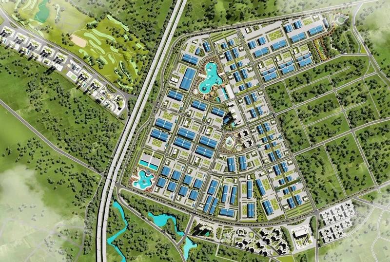
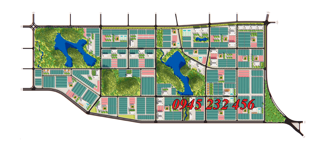
The planning scope covers the administrative boundaries of Sao Vang Town and Xuan Phu Commune, Tho Xuan District; and Tho Son Commune, Trieu Son District. Specific boundaries are defined as follows:
North: Bordered by National Highway 47 and the connecting road between National Highway 47 and Ho Chi Minh Highway;
South: Bordered by Road No. 04 (the planned Southern Ring Road of Lam Son – Sao Vang Urban Area);
East: Bordered by Road No. 06 (Sao Vang to Nghi Son route);
West: Bordered by Road No. 17 (planned road).
2. Nature and Character of the Planning Area:
A modern, multi-sector, high-tech industrial park;
A fully and synchronously developed area providing convenient and safe conditions for investors;
An industrial park developed in harmony with neighboring urban areas.
3. Scale and Key Socio-Economic and Technical Norms:
3.1. Land Area Scale:
Located within the administrative boundaries of Xuan Thang and Xuan Phu Communes, Tho Xuan District, and Tho Son Commune, Trieu Son District. Among which: The land area for Industrial Park construction is approximately 537.3 hectares; the total natural area of the planning study area is approximately 592.3 hectares. Breakdown as follows:
Xuan Phu Commune: 26.28 ha;
Sao Vang Town: 543.89 ha;
Tho Son Commune: 22.13 ha.
3.2. Workforce Scale:
Projected workforce by 2020: approximately 29,193 people.
3.3. Technical and Economic Norms:
a) Land Use Norms of the Industrial Park
Land Use Ratios in the Industrial Park:
Ratio of factory/plant construction lots to total park area: 55–60%;
Transportation land ratio: 13–15%;
Greenery land ratio: 10–15%;
Administrative, service, and technical infrastructure land: 1–3%.
Industrial Land Use Parameters: Construction density within factory plots: 55–70%; Floor Area Ratio (FAR): 0.5–3.0.
b) Technical Infrastructure Norms:
Transportation: Road density: 3–5 km/km²; calculated lane width: 3.5–3.75 m.
Power Supply:
Industrial power supply: 200–300 kW/ha;
Public service and office power supply: 100–150 kW/ha;
Transportation (street lighting): 5–12 kW/km.
Water Supply:Industrial water supply: $40\text{ m}^3/\text{ha}$ for 70% of factory/plant construction area.Public water supply: 2.0–3.0 liters/m² of floor area.
Wastewater and Environmental Sanitation:Industrial wastewater flow: $\ge$ water supply volume.Solid waste generation: 0.3 tons/day-ha.
Xã Thăng Bình, Thanh Hóa
Xã Hà Long, Thanh Hóa
Xã Hoằng Giang, Thanh Hóa
Xã Thiệu Quang, Thanh Hóa